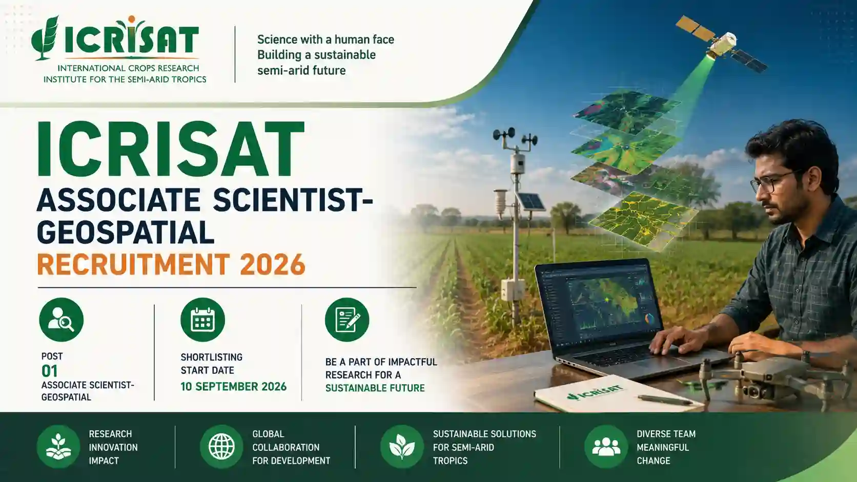
ICRISAT Associate Scientist-Geospatial Recruitment 2026 | Apply for 1 Post @ icrisat.org/
ICRISAT (International Crops Research Institute for the Semi-Arid Tropics) has released the official notification for the recruitment of Associate Scientist-Geospatial under the Digital Agriculture cluster of the Resilient Farming Systems program. The ICRISAT Associate Scientist-Geospatial Recruitment 2026 notification (Job Code JC26_1575) has been released for a total of 1 vacancy. Eligible candidates can apply online through the official ICRISAT careers portal. The position will remain open until a suitable candidate is identified, with shortlisting starting from 10 September 2026.
This is an excellent opportunity for PhD holders in Geospatial Sciences, Environmental Modelling, Agriculture, or related fields with a passion for applying advanced remote sensing techniques to improve agricultural productivity and sustainability in semi-arid regions.
__________________
 Join WhatsApp Channel ➜ Click Here
__________________
About ICRISAT
ICRISAT (International Crops Research Institute for the Semi-Arid Tropics) is a premier non-profit agricultural research institute dedicated to uplifting smallholder farmers and ensuring food security in the dryland tropics. Covering 6.5 million square kilometers of land in 55 countries, the semi-arid or dryland tropics has over 2 billion people, with 644 million being the poorest of the poor. ICRISAT and its partners help empower these disadvantaged populations to overcome poverty, hunger, and a degraded environment through better agricultural production systems.
Headquartered at Patancheru near Hyderabad, India, with two regional hubs and eight country offices in sub-Saharan Africa, ICRISAT conducts research on its mandate crops of chickpea, pigeonpea, groundnut, sorghum, pearl millet, and finger millet. The institute focuses its work on the drylands and in protecting the environment, envisioning a prosperous, food-secure, and resilient dryland tropics.
__________________
Recruitment Highlights
| Feature | Details |
| Organization | ICRISAT (International Crops Research Institute for the Semi-Arid Tropics) |
| Department | Digital Agriculture (Resilient Farming Systems) |
| Post Name | Associate Scientist-Geospatial |
| Total Vacancies | 01 |
| Job Code | JC26_1575 |
| Experience Required | 2 - 10 Years |
| Job Location | Patancheru, Hyderabad, Telangana |
| Employment Type | Contractual (24 months, renewable) |
| Recruitment Process | National |
| Official Website | www.icrisat.org |
Important Dates
| Event | Date |
| Notification Release Date | 26 August 2026 |
| Shortlisting Start Date | 10 September 2026 |
| Application Deadline | Open until suitable candidate identified |
Vacancy Details
| S.No | Post Name | Vacancies | Experience | Location |
| 1 | Associate Scientist-Geospatial | 01 | 2 - 10 Years | Patancheru, Hyderabad |
Eligibility Criteria
Essential Qualifications:
- PhD in Geospatial Sciences, Environmental Modelling, Agriculture, Engineering, Mathematics, Statistics, or a related field with a focus on remote sensing of agriculture, with at least 2 years of experience Post PhD.
- Extensive experience in geospatial sciences, environmental modelling, agriculture, engineering, mathematics, statistics, or related domains, with a strong focus on remote sensing applications in agriculture.
- Demonstrated expertise in crop acreage estimation, crop type mapping, and yield forecasting using advanced remote sensing techniques.
- Proficient in handling and analysing multi-temporal and multi-spectral satellite data, including optical, microwave, and hyperspectral datasets.
- Strong command of remote sensing and GIS software such as ENVI, ERDAS, SNAP, Google Earth Engine, ESRI ArcGIS, and QGIS.
- Advanced programming skills in R, Python, MATLAB, or similar tools for data processing, statistical analysis, automation, and model development.
- Experience in integrating and assimilating diverse datasets, including climate, soil, satellite, and socio-economic data.
- Familiarity with crop simulation and modelling tools such as APSIM, DSSAT, as well as empirical and semi-empirical approaches for yield estimation.
- Strong background in statistical analysis, including machine learning and artificial intelligence methods for agricultural and geospatial applications.
- Proven ability to design and implement field surveys and ground-truth data collection protocols.
- Demonstrated record of publishing research findings in peer-reviewed international journals.
- Experience in developing decision support systems and scalable tools for agricultural monitoring.
- Hands-on exposure to big data analytics and cloud computing platforms such as AWS and Microsoft Azure.
- Project Management
- Stakeholder Engagement
- Process Optimization
- Crop Modeling
 Subscribe to Our YouTube Channel ➜ Click Here
__________________
Responsibilities
- Develop and implement methodologies for crop acreage estimation and crop type mapping using advanced remote sensing techniques.
- Conduct yield forecasting for ICRISAT mandate crops in Asia and Africa by integrating satellite data, field observations, and crop models.
- Monitor and assess crop health, stress, and growth stages using multi-temporal and multi-spectral satellite data.
- Collaborate with interdisciplinary teams to analyse cropping patterns, land use changes, and agricultural trends at regional and national scales.
- Process and analyse large datasets from cloud-based platforms (e.g., Google Earth Engine, Sentinel Hub) for agricultural applications.
- Support ground truthing and field survey campaigns to validate remote sensing analyses and improve model accuracy.
- Maintain and update geospatial databases of crop, soil, climate, and management data for agricultural monitoring and modelling.
- Contribute to the development of scalable tools and decision support systems for agricultural stakeholders.
- Publish research findings in peer-reviewed journals and present results at international conferences.
How to Apply for ICRISAT Associate Scientist-Geospatial Recruitment 2026
- Step 1: Visit the official ICRISAT careers portal at careers.icrisat.org/careers.
- Step 2: Search for the "Associate Scientist-Geospatial" position or Job Code JC26_1575.
- Step 3: Click on the job posting to view the complete details.
- Step 4: Click on "Apply" and log in to your account or create a new account if you are a first-time user.
- Step 5: Fill the online application form with all required personal, educational, and professional details.
- Step 6: Upload your latest Resume/CV.
- Step 7: Provide the names and contact information of three references knowledgeable about your professional qualifications and work experience.
- Step 8: Review all details and submit the application before the deadline.
__________________
Important Links
| Description | Link |
| Official Website (ICRISAT) | Click Here |
| Careers Page | Click Here |
| Apply Online | Click Here |
 Join Telegram Channel ➜ Click Here
__________________
Important Instructions
- Only Indian nationals are eligible to apply for this position.
- The position is contractual for a period of 24 months (02 years), renewable based on performance and the institute's continuing need.
- Applicants must have a PhD in Geospatial Sciences, Environmental Modelling, Agriculture, Engineering, Mathematics, Statistics, or a related field.
- A minimum of 2 years of post-PhD experience is required.
- The shortlisting process will commence from 10 September 2026.
- All applications will be acknowledged; however, only shortlisted candidates will be contacted.
- Candidates must apply with their latest Resume/CV and contact details of three references.
- ICRISAT is an equal opportunity employer and welcomes applications from all qualified candidates regardless of ethnicity, race, gender, religious beliefs, sexual orientation, age, marital status, or disability.
- No application fee is mentioned. Candidates are advised to refer to the official notification for any fee details.
- For more details about the institute, visit www.icrisat.org.
Why ICRISAT?
- Rewarding career opportunity in dryland agricultural research
- Lasting impact on millions of lives and communities
- State-of-the-art research infrastructure
- High-performance culture
- Global exposure and learning opportunities
Contact Details
- Organization: ICRISAT (International Crops Research Institute for the Semi-Arid Tropics)
- Headquarters: Patancheru, Hyderabad, Telangana - 502324
- Official Website: www.icrisat.org
- Careers Portal: careers.icrisat.org/careers
Frequently Asked Questions (FAQs)
1. What is the last date to apply for ICRISAT Associate Scientist-Geospatial Recruitment 2026?
- The position will remain open until a suitable candidate is identified. Shortlisting will start from 10 September 2026.
- A total of 01 vacancy has been announced for Associate Scientist-Geospatial.
- PhD in Geospatial Sciences, Environmental Modelling, Agriculture, Engineering, Mathematics, Statistics, or a related field with a focus on remote sensing of agriculture.
- At least 2 years of experience post PhD in any of the above fields.
- The position is contractual for a period of 24 months (02 years), renewable based on performance and the institute's continuing need.
 Also Read
ISRO Scientist/Engineer 'SC' Recruitment 2026 | Apply for 175 Posts
Sahitya Akademi Recruitment 2026 | Apply for 30 Various Posts
AVNL MTPF Trade Apprentice Recruitment 2026 | Apply for 162 Posts
Bank of Baroda Security Department Recruitment 2026 Extension | Apply for 206 Posts
RITES Engineer-UT Testing Recruitment 2026 | Apply Online for 8 Posts
National Authority CAMPA Recruitment 2026 Extension | Apply for 19 Posts
IOB Security Guard Recruitment 2026 | Apply for 25 Posts
PAO MHA Consultant Recruitment 2026 Extension | Apply for 30 Posts
SSB Inspector (Veterinary) Recruitment 2026 | Apply for 02 Posts
MECON Recruitment 2026 | Apply for 7 Executive Posts
Dayalbagh Educational Institute Recruitment 2026 | Apply for 13 Posts
 Tags
TagsICRISAT, ICRISAT Recruitment, Associate Scientist, Geospatial Scientist, Digital Agriculture, Resilient Farming Systems, Remote Sensing, GIS, Agricultural Research, Research Jobs, Government Jobs, Sarkari Naukri, Hyderabad Jobs, Telangana Jobs, 2026 Jobs, 2026 Recruitment, PhD Jobs, Scientist Jobs, Geospatial Jobs, Agriculture Jobs, ICRISAT Careers, International Jobs, Research Institute Jobs, Patancheru Jobs, Crop Modelling, Machine Learning, Data Analysis, Geospatial Analysis
Disclaimer: This article has been prepared for informational purposes based on the official ICRISAT Associate Scientist-Geospatial Recruitment 2026 Notification (Job Code JC26_1575). Candidates are advised to read the official notification carefully before applying. All information including vacancy numbers, eligibility criteria, and dates are as per the official advertisement. In case of any discrepancy, the official notification issued by ICRISAT shall prevail. Keep checking the official ICRISAT careers portal for updates on recruitment-related information.